
Član VIP
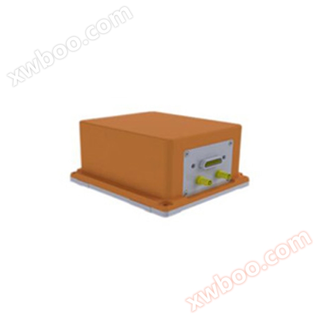
IMU-GI5651 MEMS Inertial/Satellite Combined Navigation
MEMS gyroscope, accelerometer directional accuracy 0.1 speed accuracy 0.02m/s power supply voltage DC 24V output RS-232, RS422 optional wide temperatu
Detalji proizvoda
Product support GNSS/milemeter/DVL/air pressure altimeter and other sensors external, with scalability, through the adoption of multi-sensor data fusion technology award inertial measurement and etc., can make the system's geographical adaptability and robustness be greatly improved. Product support GNSS/milemeter/DVL/air pressure altimeter and other sensors external, with scalability, through the adoption of multi-sensor data fusion technology award inertial measurement and etc., can make the system's geographical adaptability and robustness be greatly Kä ye kek looi aye kek AHRS aviation reference function, ka lëu bï ya tɔ̈ɔ̈u në kaam thiin koor yiic, ka lëu bï ya tɔ̈ɔ̈u në kaam thiin koor yiic, ka lëu bï ya tɔ̈ɔ̈u në kaam thiin koor yiic, ka lëu bï ya tɔ̈ɔ̈u në kaam thiin koor yiic.
Walasa ka mobile street view mapping, ocean mapping and other fields application needs, a support with raw data storage and mapping level navigation event post-processing software, a user selects according to their needs. Walasa ka mobile street view mapping, ocean mapping and other fields application needs, a support with raw data storage and mapping level navigation event post-processing software, a user selects according to their needs.
Aplikasi Produk
● Electronic Traffic Measurement ● Precision Agriculture ● City Street View Collection ● 2D Map Collection ● Backpack Street View Collection
● Drone ye tɔ̈u
Онлайн разпит
-
Kontakti
-
Kompanija
-
Telefon
-
E-mail
-
WeChat
-
Kod provjere
-
Сједност поруки
-